How to draw your plot in one evening: step-by-step in formspace.design
Step-by-step guide: measurements, boundaries, scale, zones, and objects on a 2D plan in 2–4 hours. For 4–12 sotok plots without CAD or SketchUp.
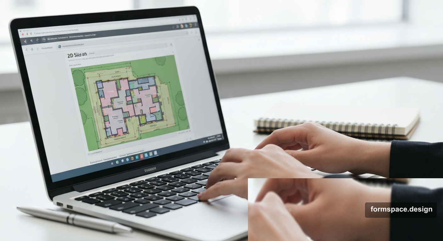
Short answer: a 4–12 sotok plot can realistically be drawn in one evening (2–4 hours) if you measure first, upload a photo or map as underlay, and follow the order: boundaries → scale → zones → main objects. In formspace.design this runs in the browser — no CAD install, no drawing skills required.
Below: detailed timing, checklist, and FAQ. For dacha owners, country-house residents, and anyone preparing a scheme for a landscape designer or contractor.
How long does it really take?
| Plot type | What to include | Time |
|---|---|---|
| 4–6 sotok, simple shape | Boundaries, 3–5 zones, path, lawn | 1.5–2.5 h |
| 6–10 sotok, house in place | + existing buildings, trees | 2–4 h |
| Complex contour, slope, many objects | Detailed takeoffs | 2 evenings |
One evening goal: not a perfect landscape project, but a working drawing — clear boundaries, zoning, and main elements for a contractor or AI visual.
What you need before starting
Prep takes 20–40 minutes and saves time on the plan.
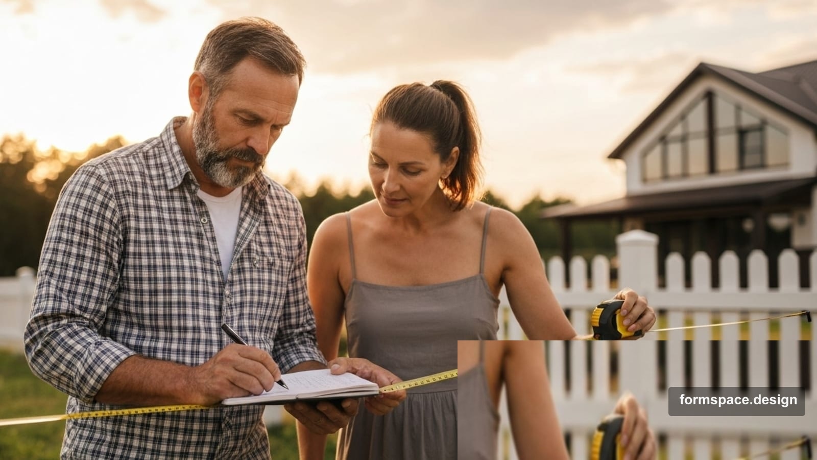
Tools: tape measure 5–10 m (or laser), notebook or phone notes, photos from ground level and balcony if possible, laptop or tablet.
Write down:
- Side lengths along fence or from documents.
- House position — setbacks from boundaries (approximate OK).
- Entry points — gate, driveway.
- Do not touch — well, septic, gas, poles, large trees.
- Family wishes — terrace, BBQ, play area, vegetable patch, parking.
±30 cm accuracy is enough for a first plan.
One-evening schedule
Reference for 6–8 sotok with an existing house.
| Time | Task | formspace.design block |
|---|---|---|
| 0:00–0:20 | Measure on site or check documents, photos | — |
| 0:20–0:30 | Register, new project, short brief | 1.1 |
| 0:30–0:50 | Underlay, lock, scale one side | 1.2 – 1.3 |
| 0:50–1:20 | Boundary contour, check area | 1.3 |
| 1:20–1:50 | House, entry, large trees, old paths | 1.4 |
| 1:50–2:20 | 3–5 functional zones | 1.5 |
| 2:20–3:10 | Paths, lawn, terrace, beds by house | 1.6 |
| 3:10–3:25 | Takeoffs, areas, export / review | 1.7 |
| 3:25–3:55 | (Optional) AI concept or photo visual | 2.1 / 3.1 |
If after 1 h 20 min the boundary isn’t closed — stop detailing; finish contour and scale only. A plan with correct boundary beats a pretty sketch without dimensions.
Tip for couples: one person reads the tape, the other draws — faster, fewer arguments.
Grid, pan, accuracy — three tricks without CAD
Grid. Enable grid in view settings (block 1.0) — easier to align paths parallel to house and fence.
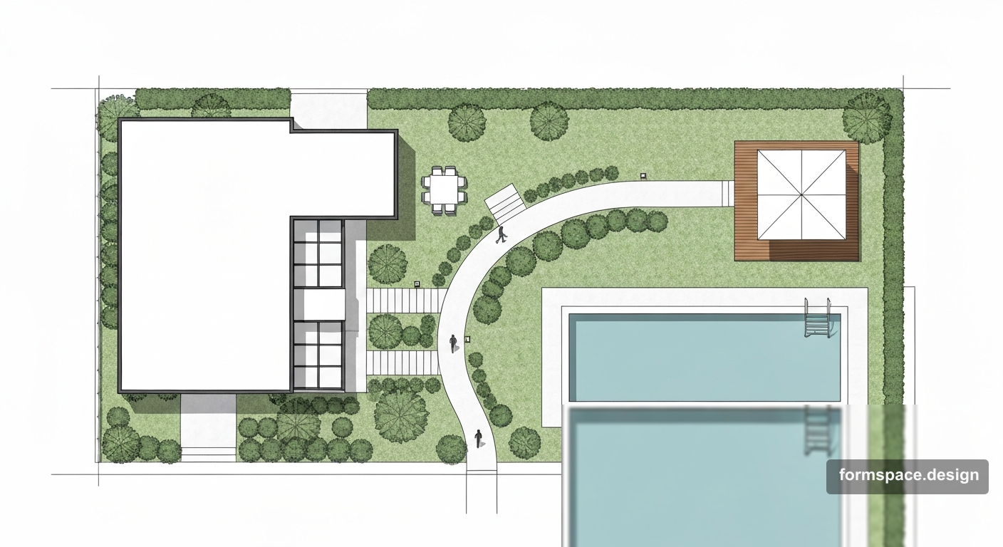
Pan and zoom. Don’t draw everything at one zoom: zoom in for corners, out for zone overview.
Snap to underlay. If underlay is drone or satellite, trace the visible fence; calibrate scale on one measured side. Recheck the second side next day — phone perspective often fools the first evening.
Label objects so estimates don’t need redoing
On the first evening set category, name, material in block 1.6. No “unnamed polygon”.
Examples:
- “Main path — 60×60 pavers”
- “Lawn — turf roll”
- “Entry bed — hostas, lavender (concept)”
- “Parking — gravel 20–40”
Even if priced estimates by region are still in development, area and length takeoffs let you multiply meters by nursery or store prices the next day.
Leave for a second evening (no guilt)
Not required in one go:
- every bush and flower;
- irrigation, cable, drainage;
- millimeter-perfect corners;
- final plant varieties;
- ten AI renders.
Second evening: refine boundary on sides 2–3, detail beds and utility, lighting, first PDF export for contractor.
Step 1. Create a formspace.design project (5–10 min)
- Register at formspace.design — free, no card.
- New project with a clear name: “6 sotok plot”, “Country house Ivanovo”.
- Open brief (block 1.1): style, budget band, who uses the plot.
Why brief on night one: later AI concept ties to your words, not a random Pinterest image.
Step 2. Underlay and scale (15–25 min)
- Block 1.2 — upload photo or map screenshot.
- Lock underlay so it doesn’t drift.
- Block 1.3 — set scale on a known length (e.g. 20 m fence side). Without scale, takeoffs are meaningless.
Approximate sizes OK — refine scale tomorrow with the tape.
Step 3. Draw boundaries (20–40 min)
- Contour tool in 1.3.
- Rectangle: four clicks; irregular: fence corners.
- Check area vs cadastre (600 m², 1000 m²…). 5–10% off on first draft is normal.
Non-rectangular: corners and long sides first; small kinks later.
Step 4. Existing objects — block 1.4 (30–45 min)
Before “beauty”, mark what’s there:
- house, shed, greenhouse;
- large trees (circles);
- existing paths and pads;
- driveway and parking.
Set category and name for each — export and takeoffs. Contractor sees what stays vs moves.
One evening: only what affects zoning — not every bush.
Step 5. Functional zones — block 1.5 (25–40 min)
Typical set for 6 sotok:
| Zone | Purpose |
|---|---|
| Entry / driveway | Car, gate, street view |
| Terrace / relax | Table, loungers near house |
| Lawn / play | Open space |
| Vegetable or beds | Growing, flowers |
| Utility | Compost, wood, tools |
| Quiet corner | Swing, gazebo, shade |
Draw zones as polygons, different colors. Empty spots = reserve for future ideas.
Rule: 3–5 zones enough. Nested beds later.
Step 6. Layout — block 1.6 (40–60 min)
Add what you want to build or plant:
- paths (0.9–1.2 m walk, 2.4–3 m car);
- lawn;
- beds and mulch;
- pergola, gazebo, pond (simplified);
- lighting — points or line.
Order: main paths gate → house → terrace; large surfaces (lawn, patio); accents (entry bed, yard tree).
Set material in object properties — basis for future estimate.
Step 7. Check and export — block 1.7 (10–15 min)
Before closing the laptop:
- Boundary closed, area plausible.
- Scale set, reference side matches tape.
- Zones intentional, not chaotic overlap.
- Legend clear: existing vs new.
- Report / preview — takeoffs and areas.
formspace.design saves to server; view draft stays local — don’t clear site data without reason.
Bonus same evening: AI concept and photo (20–30 min)
If energy left:
- AI concept (2.1) — ideas from brief and zones.
- Photo design (3.1) — yard photo, mask zone, pick style — visual aligned with your plot.
One evening: plan → idea → image, not render without dimensions. See formspace.design vs photo-only AI.
Typical mistakes
1. No scale. Pretty plan, useless takeoffs. Fix: 5 min calibration on one side.
2. Detail first. Hour on one bed, boundary open. Fix: contour and zones first.
3. Ignoring existing. Forgot septic or well — redo. Fix: block 1.4 in first half.
4. Plan “in head”. Partner and contractor see different things. Fix: one formspace.design project, link or export.
5. Perfection day one. First plan = discussion draft. Fix: allow a second evening.
6. Blank canvas. Hard to match house proportions. Fix: even phone photo under plan speeds up 1.5–2×.
7. Unnamed zones. Same color, no names — forget intent in a week. Fix: short names: “Relax”, “Kids”, “Veg”.
Non-standard plots
Narrow long (“sausage”): axis gate → house first; zones in strips along yard.
L-shape: two rectangles mentally; draw boundary in segments, check each with tape.
Slope: mark max rise line and “don’t touch” zone. Retaining walls — phase two with contractor.
Built around house: block 1.4 first — all existing, then new in 1.6 only.
“Plot in one evening” checklist
- Measurements and photos ready.
- Project created, brief filled.
- Underlay uploaded and locked.
- Scale set.
- Boundary closed.
- Existing objects marked.
- 3–5 functional zones.
- Paths and lawn sketched.
- Takeoffs reviewed.
- (Optional) AI concept or photo visual.
FAQ
Can I draw without a cadastral plan?
Yes. Tape and fence sketch enough. Cadastre can be underlay later.
Need SketchUp or AutoCAD?
No. For a dacha and first contractor brief, browser 2D is enough. CAD for complex engineering.
Accuracy for an estimate?
Rough purchase: 10–15% error often OK. Contract: recheck key dimensions on site.
Optimal sotok for one evening?
4–10 sotok comfortable. 15+ sotok: master plan one evening, details in parts.
Can I change the plan later?
Yes. Objects and zones edit; segments and materials change. Living document.
For neighbors or authorities?
As intent diagram — yes. Legal documents need official drawings and specialists.
formspace.design vs hand drawing?
Stays scaled, auto areas, takeoffs, AI visual in same project. Paper redrawn every step.
Need constant internet?
Yes for editor; server save. Local view draft for reload resilience.
No exact measurements?
Use cadastre or lease, approximate scale on long side, sketch on underlay. Second visit with tape adjust vertices — still useful for discussion.
Use the plan for AI visualization?
Yes. Zones and brief feed AI concept; masked photo feeds photo design. Plan first, then image.
Summary
Draw your plot in one evening is realistic if you split: prep → boundaries → scale → zones → objects → check. First evening goal: scheme the whole family and contractor understand.
formspace.design combines 2D plan, zoning, takeoffs, and AI visual in one project — no install.
Start now: create a free account, open a new project, complete steps 1–3 — boundaries and scale in the first hour.
Published:

Volodymyr Vybornyi
Landscape designer, founder of https://formspace.design/
Writes about landscape design, business, and modern computer-aided landscape planning tools, including AI.